Nº 91 Chemin du Jura bernois
Stage 3: Tramelan – St-Imier
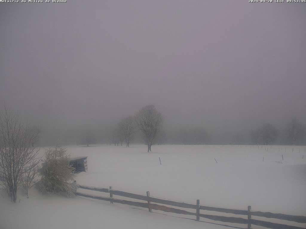
The high-altitude hike across the Montagne du Droit leads across high Jura pastures and next to huge spruce trees with a view of the Chasseral. Champ Meusel, the largest surviving site of a meteorite impact in Switzerland, lies directly beneath solar and wind turbines that power thousands of homes.
Characteristics
Characteristics
- City start
- Tramelan
City end- St-Imier
Height Difference- 580 m
Height Difference Back- 340 m
Hiking Time- 4 h 9
Technical requirements- Easy
Physical requirements- Medium
Stages
Stages
- Stage n° 1
- Moutier - Sornetan
- Duration : 5 h 9
- Length : 17 km
- Technical : Easy
- Fitness level : Difficult
- Stage n° 2
- Sornetan - Tramelan
- Duration : 4 h 0
- Length : 15 km
- Technical : Easy
- Fitness level : Medium
- Stage n° 3
- Tramelan - St-Imier
- Duration : 4 h 9
- Length : 15 km
- Technical : Easy
- Fitness level : Medium
- Stage n° 4
- St-Imier - La Chaux-de-Fonds
- Duration : 4 h 24
- Length : 18 km
- Technical : Easy
- Fitness level : Medium
Links & PDFs
Links & PDFs


